Geospatial 3D scanning is mapping put spaces as 3D imagery. This involves using a geospatial scanning or imaging device to map out a property. This can be used for topographic surveys, capturing construction progress, performing comprehensive data analysis, or even map out a renovation model.
Why is geospatial scanning used by an emergency packout company? The purpose of these tools is to get an exact image of the property. That’s why packout service providers use 3D scanning to map out the property pre-mitigation or for EPC, pre-packout too.
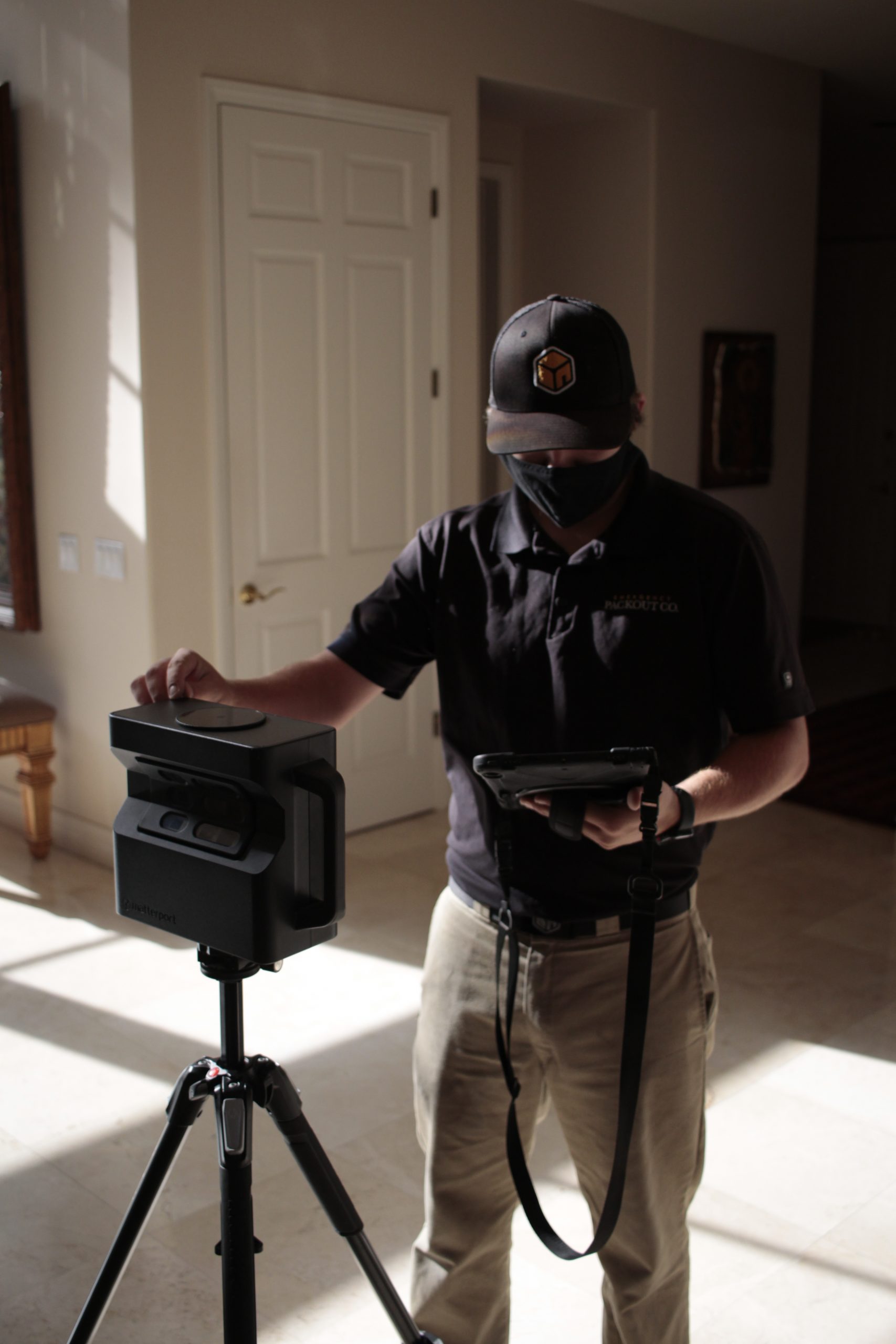
While there are other geospatial mapping techniques and tools, EPC uses Matterport. It’s an insurance company-approved tool and has significantly helped to improve our packout services. Services like these set EPC apart from other packout service providers.
Since this allows us to get an exact image of items pre-packout, the technicians can place items exactly where they were before during the packback. That’s not all Matterport scans come in handy for. Since Matterport produces 2D and 3D visualizations of the environment based on site data documented during the scanning it is useful for people the client is working with aside from the emergency packout company.
While EPC is not a restoration contractor, this emergency packout company works with restoration contractors and adjusters for the ease and benefit of the client. Matterport scans and the TruePlan Sketch shared by EPC help restoration contractors map out the exact extent of the damage from the disaster as well as peripherally affected areas. The smoother the restoration process the better it is for the homeowner.
When it comes to adjusters, these scans are even more helpful. Matterport updates can be shared almost instantly and save adjusters the hassle of on-site evaluation. They can even be updated about the progress of restoration remotely. Therefore, adjusters don’t have to make repeated trips to the property for manual on-site evaluations. Hence assisting with the insurance claims process as well.
They’re also compatible with Xactimate software used by adjusters and contractors to estimate the cost incurred for repair. Not all restoration contractors and restoration adjusters use a geospatial 3D scanning tool. Since EPC does, they lend a helping hand to make the whole process go smoother. This also significantly reduces the time required for the insurance claims process.
All EPC efforts revolve around making things easier for the policyholder. By helping the restoration contractor and insurance adjuster EPC is ultimately helping their client.